
R3Survey
R3Survey is an AutoCAD add-in designed for surveyors to streamline cadastral calculations and drafting. It simplifies inputting traverse data, managing survey layers, and interacting with LandXML data.
Built for Surveyors, Developed in C# and C++
The R3Survey plugin is developed using C# and C++, ensuring high performance and seamless integration with AutoCAD.
Part of a Larger Project
R3Survey is just one part of a larger project aimed at improving surveying workflows in the AutoCAD suite of programs.
We are also developing a Civil 3D add-in featuring:
- Survey Stringing for Feature Codes
- Surface Modelling & DTM Creation
- A range of productivity tools for surveyors
R3 Survey for AutoCAD Key Features
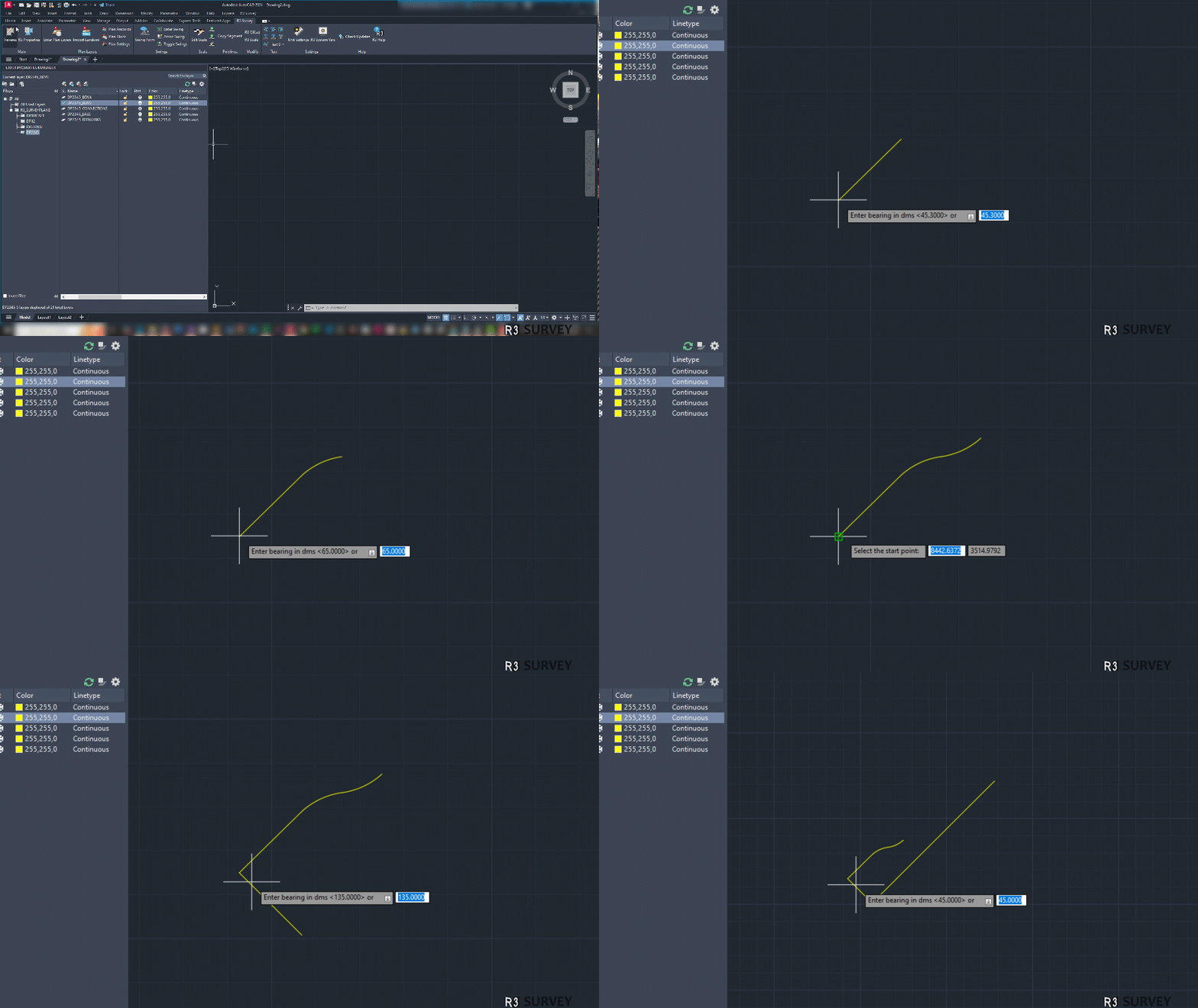
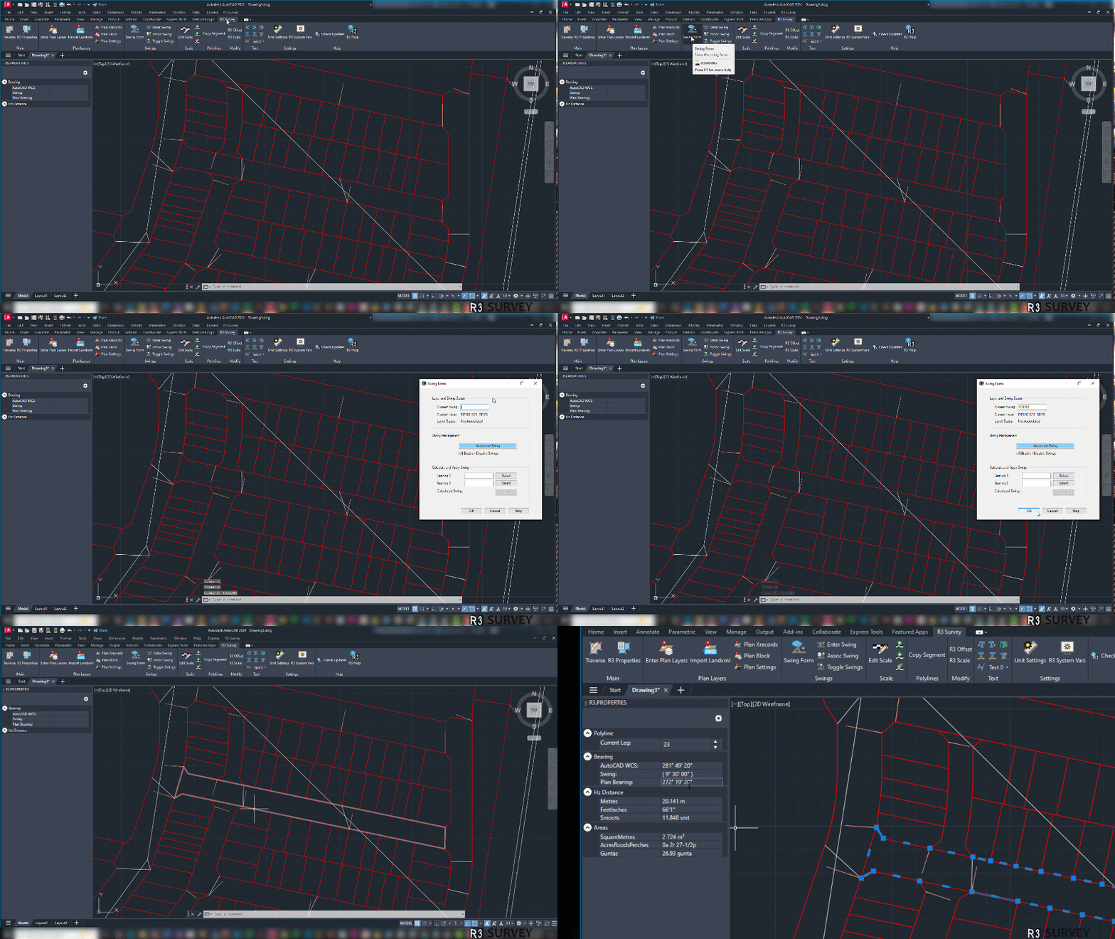
- Efficient Traverse Entry
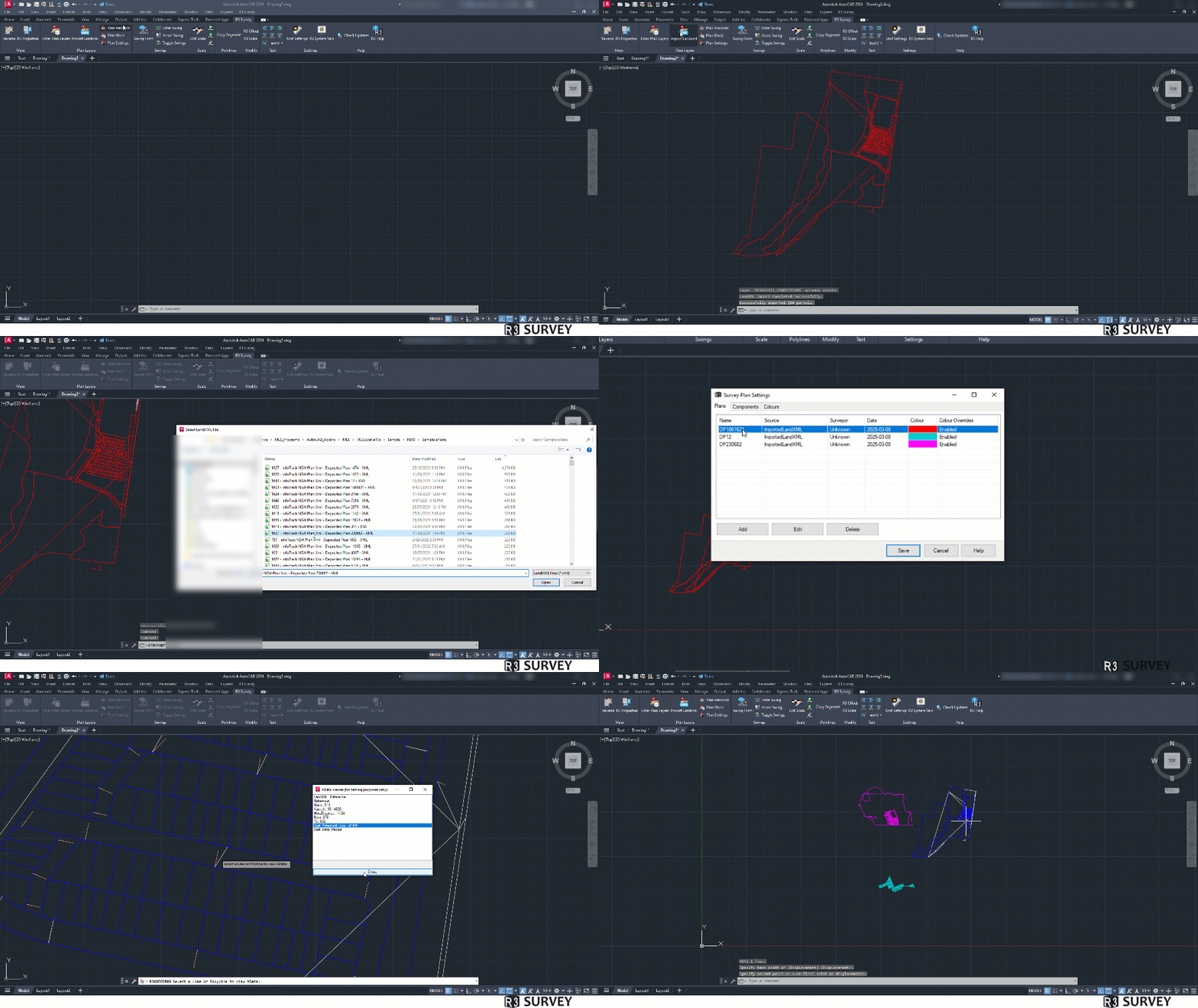
- LandXML Import
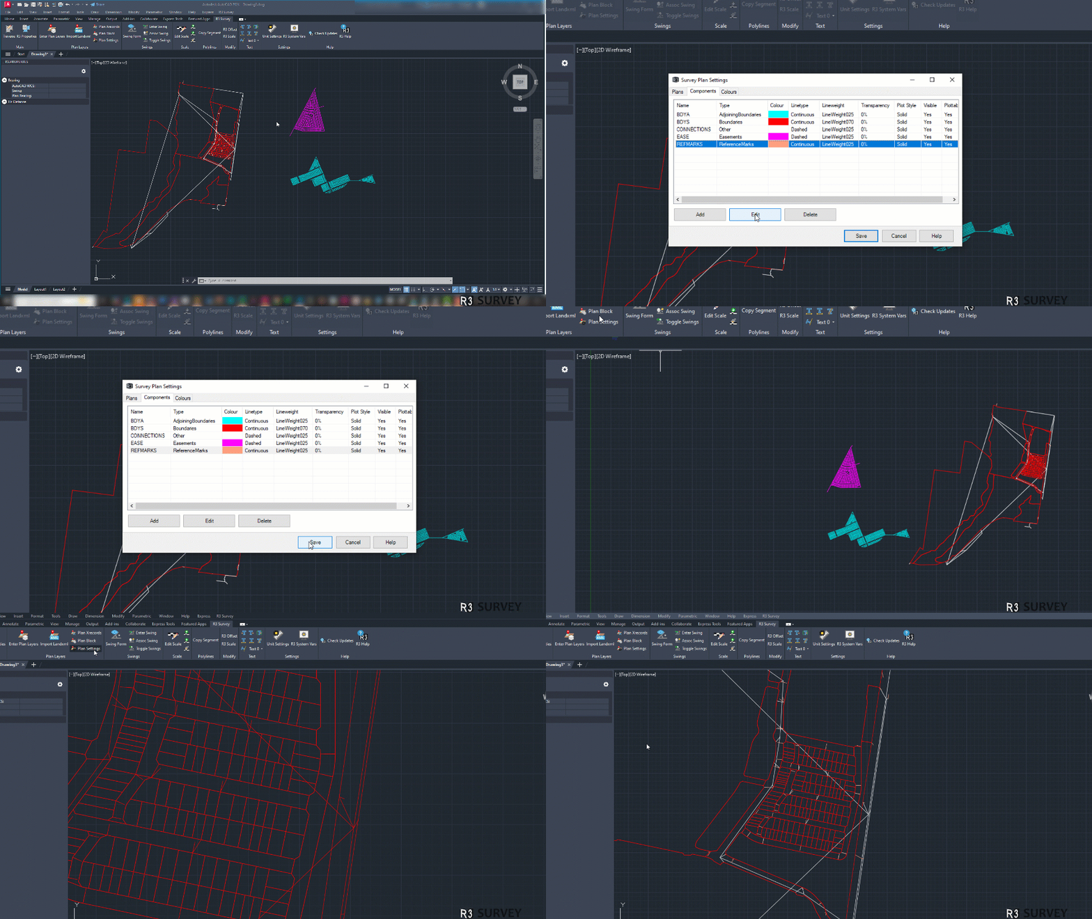
- Dynamic Layer Management
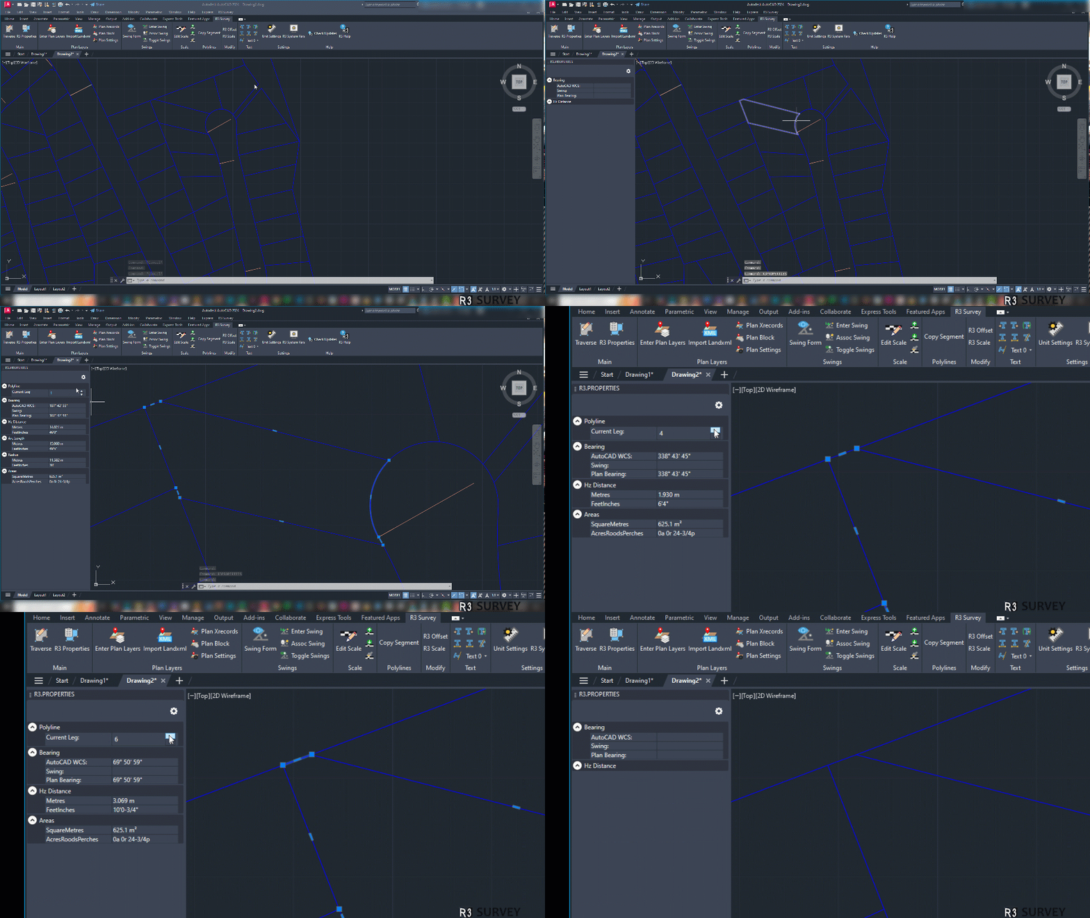
- Custom Tools
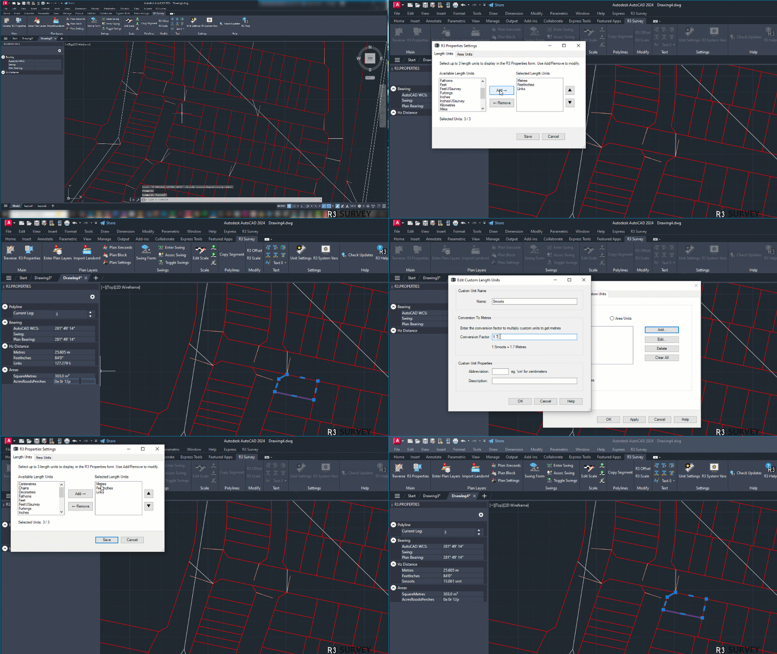
- Multi-Unit Support (Metres, Feet & Inches, Links, etc.)
Screen Recordings
Click any GIF to view it in full size.
Join the Testing Program
R3Survey is currently in development and being tested.
To participate in early testing, you must be an Australian survey company or Australian Surveyor and use a company email address (no Gmail, Outlook, etc.).
Custom Software Design
We also provide custom software development for surveyors, engineers, and associated professions.
Our expertise includes:
- AutoCAD or Civil 3D Automation
- Custom Surveying & Engineering Data Tools
- LandXML Processing & Validation
- Development in C, C#, C++, and Python
We’d be happy to discuss your needs. Contact us to explore custom solutions!
← Back to Mitchell Land Surveyors